Muskrat Lake Watershed Project 2015
 Algonquin College in the Ottawa Valley’s Office of Applied Research and Environmental Technician program received additional funding for 2015 through the Water Adaptation Management and Quality Initiative (WAMQI), to continue working alongside community partners, such as the Muskrat Watershed Council (MWC), the Ontario Ministry of Environment and Climate Change (MOECC), and Canadian Nuclear Laboratories (CNL) to document water quality issues in the Muskrat Lake watershed. For 2015, we also received funding from the Cobden and District Civitan Club and the Deep River Science Academy (DRSA) to support special projects within the framework of the Muskrat Lake watershed monitoring network.
Summer 2015
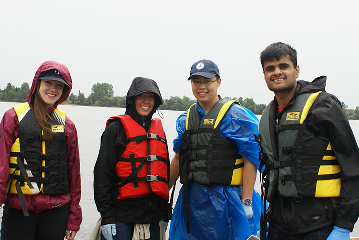
For Summer 2015, ongoing collection of water quality sampling continues in the watershed on a bi-weekly basis for 24 sites, one sent monthly to CNL laboratories for analysis, the other set of samples to be sent to MOECC for monthly analysis. Two field and lab technician co-op students from the Environmental Technician Diploma Program have been tasked with continuing the ongoing sampling, as well as performing these other project-related deliverables throughout the summer months:
- Installation of water level meters at all hydrology sites and continuing to collect water level information.
- Installation of remote conductivity data loggers at 4 sites. Download data logger information monthly. This data will help to improve our insights as to the times of year when particular issues contribute and/or exacerbate the situation on Muskrat Lake.
- Expansion of Remote Sensing Technology application for identification of sediment loading and algal bloom assessment.
 Design two “special investigative projects” for two Deep River Science Academy (DRSA) students:
- Installation and monitoring of the effectiveness of a BioCord system in remediating phosphorus on a tributary of the Snake River.
- Investigation of areas of the extent and timings of low oxygen levels in the Lake, to be conducted at various locations on the Lake, and using a depth profiling approach which will highlight zones of low and high oxygen concentration at various locations and at various depths.
Fall 2015
Blue Green Algal Remote Sensing and Lab Biomass Quantification
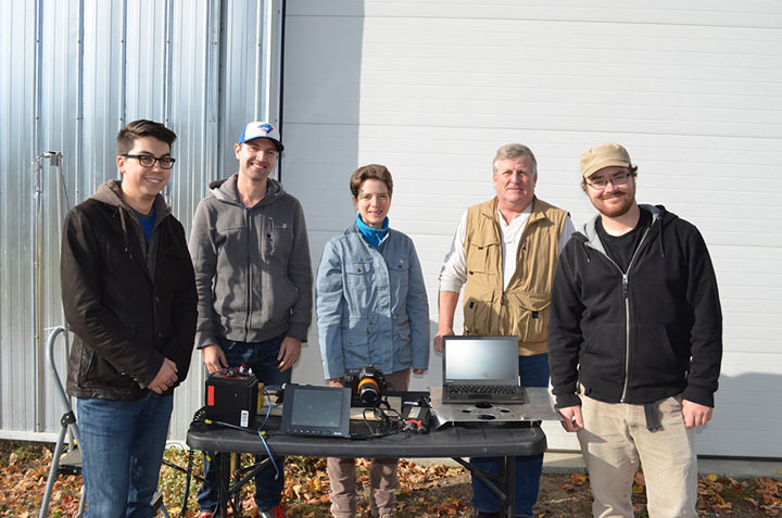 Investigate the potential for remote sensing of algal blooms using UAVs and fixed wing aircraft. Research focused on the Muskrat Lake watershed region (Lake Dore, Snake River, Muskrat River, and Muskrat Lake). ORMG, Inc. has completed some remote sensing work by conducting flyovers of the area, providing aerial photographs using a Tetracam multispectral camera. The Tetracam multispectral camera has 6 separate cameras (bands) which each capture (photograph) the following distinct wavelengths of light.
A number of sampling sites suspected to contain blue green algae were visited. Cyanobacteria (blue green algae) is a serious environmental and human health concern, as it contributes to eutrophication and produces a harmful toxin known as microcystin. The project aimed to use remote sensing (multispectral images) to provide real time information on the distribution and locations of blue green algae. This project is important as current methods of on-site sampling and laboratory analysis are inadequate at providing up-to-date information and data because cyanobacteria can move locations. Wind and wave action result in changes in the distribution and concentration of cyanobacteria, meaning laboratory results received days later may not accurately reflect the current distributions of cyanobacteria.
BMP Implementation at Dobson’s Grass Fed Beef Farm
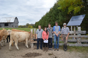 This project will identify Best Management Practice (BMP) opportunities for implementation at Dobson’s Grass Fed F
eed farm, owned by Bob Dobson. This 250-acre farm already has a series of innovative BMPs established on-site, such as solar powered pumps, shelter belts, and bat habitats. However, Mr. Dobson would like to see newer BMPs established, or a set of BMPs to compliment or enhance already existing BMPs, on the property.
The project was divided into two parts. First, students conducted experimental planting by establishing willow cuttings along an intermittent stream. One of the objectives of this portion of the project was to determine if willow cuttings planted in late fall would survive.
For the second half of the project, students were tasked with identifying the different pollinator species on the farm and determine their blooming time. Students would then identify the species that bloom at different times in the year to assist Mr. Dobson in his efforts to increase the rate and scope of pollinator species on the farm.
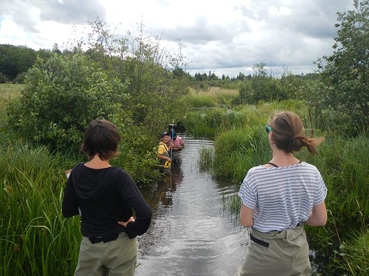
Muskrat Lake Profiling
 The team continued the research project started in June 2015, which assessed dissolved oxygen (DO) and temperature levels in Muskrat Lake using a depth profiling approach. The purpose of the project was to provide tools in the form of maps and graphs to help describe the spatial and temporal distribution of temperature and dissolved oxygen on the lake. These tools will aid in future research relating to Muskrat Lake.
In June and July, 48 sites were vertically profiled over a 2 day sampling period using YSI technology to log dissolved oxygen and temperature data from the bottom to the surface of the lake. In August, 27 sites were profiled in a one day time period. This same process was conducted in a one day time period in October and November.
Muskrat Lake is unique in that it experiences an oxygen sag in its metalimnic layer and suffers from low levels of oxygen throughout, producing hypoxic and anoxic areas. The project’s aim was also to produce tools (e.g., maps and graphs) to help determine these areas. Additionally, temperature levels and lake turnover were revealed.
Lung & Kidney Project
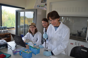 Does aeration improve filter efficiency? This project compared the effect of adding aeration to the
performance of a two stage filtration system. Our hypothesis is that the tanks with supplemented oxygen will demonstrate enhanced water quality and more efficient filtration systems. The project aimed to compare two different water quality filtration systems using fish tanks and aeration. Two water quality filtration setups were used, one system involved an aeration process while the other did not. The filtration systems were composed of two types of filters and aeration systems: 1) copper and zinc; 2) Osorb. The filters and aeration systems were provided by Foamulations. An aquatic ecosystem was mimicked using fish tanks, timed lights, aquatic vegetation and goldfish.
Comparative Analysis of Lake Dore’s Water Quality
 Algonquin College has been collecting water quality data for the Muskrat Lake watershed for two years. Monthly water samples and field measurements were taken at 24 sites in the Muskrat Lake watershed from April to October in 2014 and 2015. Water samples were sent to an accredited Ministry of the Environment and Climate Change (MOECC) laboratory, which returned information on a number of parameters including total phosphorus, heavy metals, and hardness, among others. Of these 24 sites, 5 were chosen for comparison to the Lake Doré outlet site, based mainly on location, hydrologic similarities, and land-use patterns. Data from these 6 sites were compiled and organized in order to populate the CCME WQI calculator.
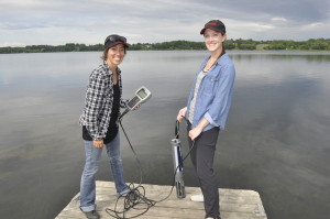
Hydrometric Data Analysis
 Students studied and tested various methods and equipment used for calculating a stream’s discharge including the Sontek and the salt slug methods. Discharge is a measure of the volume of water in a stream that passes by a given point in a given amount of time and is typically measured in m3/s. Sampling was conducted on 3 different days during which time we compared the different equipment and methods for their effectiveness in different streams. This project is part of a larger initiative that will eventually support the calculation of discharge from the main tributaries flowing into Muskrat Lake.
Discharge was measured at 3 sites which included Black’s Creek, the Muskrat River Inflow at Cobden, and the Muskrat River Outflow at Highway 17 near Meath Hill. This project is important because it will help determine the amount of nutrient loading in Muskrat Lake. Concentrations of nutrients are measured at various sites throughout the watershed, but the overall loading of nutrients to the lake via major inflows is not well understood. Students contributed to solving this issue by calculating the discharge from the streams listed above in an effort to identify the best technique for those different locations.