Finding your way at the College
Campus Maps
Use the links below to access pdf maps to find your way through the College and to locate many features including accessible washrooms and parking.
- Ottawa: https://www.algonquincollege.com/maps/ottawa-campus/
- Pembroke: https://www.algonquincollege.com/maps/pembroke-campus/
- Perth: https://www.algonquincollege.com/maps/perth-campus/
Ottawa Campus Elevator Maps

Level 1 Ottawa Campus
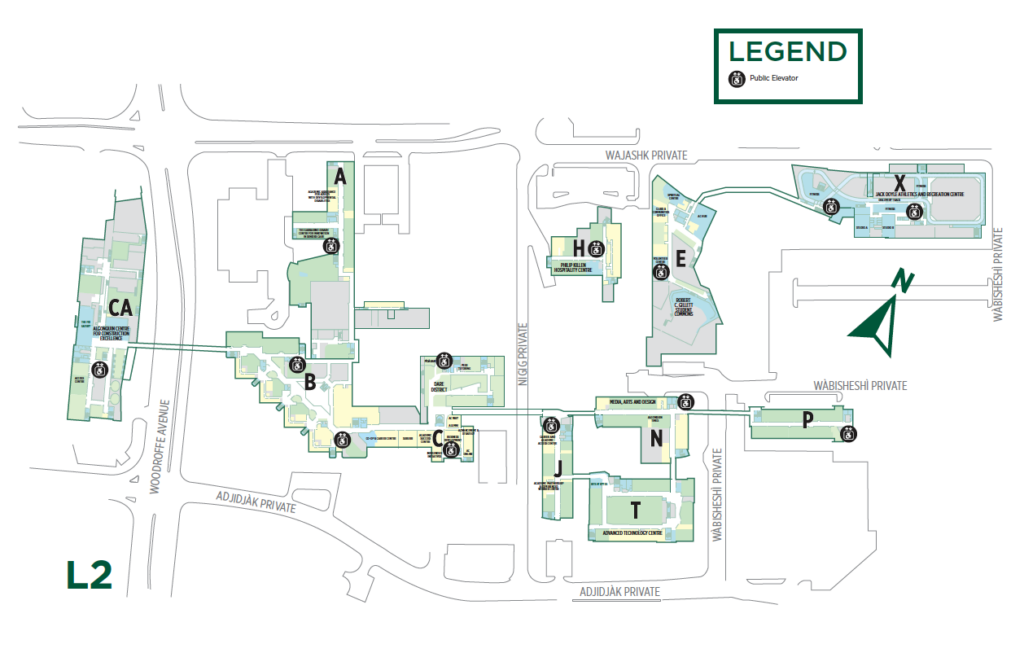
Level 2 Ottawa Campus
Use the below simplified Campus maps to locate the nearest elevator and accessible entrance.
- Level 1: Algonquin Ottawa Campus L1 Elev & Accessible Entrances
- Level 2: Algonquin Ottawa Campus L2 Elevator & Accessible Entrances
 |
< This legend will help locate what you are looking for on the maps above. It features markings and indicators which signal accessible entrances and other entrances, stairs, elevator locations, ramps (accessible grades) and parking lots. 1) The main entrance is indicated with a black arrow, 2) accessible entrance indicated with blue circle icon featuring white character using a wheelchair, 3) Accessible Grade (ramp) indicated with blue circle icon featuring white character using a wheelchair with a line indicating downward trajectory, 4) elevator indicated with black circle icon with white up and down arrows and a character using a wheelchair, 5) P1 parking indicated with green square reading P1 in white text. |